Patchewollock to Bendigo
Overview (with tips for starting in Mildura)
The unexpected longish-term stay in Victoria continues, and with Maree needing to be in Ouyen, she dropped Chris in Patchewollock, in a borrowed ute, for the 6-day, solo 360-km ride to Bendigo. Anyone else contemplating this ride will need to consider how to get their bikes to Patchewollock (or Ouyen or Mildura). Sadly the days of the Vinelander train to Mildura (whose route this ride roughly follows) are past, and getting bikes on V-line buses requires deft negotiation with drivers, and cannot be guaranteed.
The ride includes some difficult unsealed sections that would be easier with fatter tyres than my road bike has. And with such tyres, you could potentially start the ride in Mildura and ride through the Hattah-Kulkyne National Park. But that would likely require two night’s camping1. (I decided not to contemplate camping, as my ride was in winter, when the nights in the Mallee settle around 0\(^{\circ}\)C.)
Speaking of difficult unsealed sections, this ride highlights the lottery of following roads marked as unsealed on Open Street maps. The entire 360 km journey included only 65 km of unsealed roads, and 51 of those were fine: firm gravel and generally well graded. However, two sections on the second day embodied two circles of unsealed hell (see Day 2).
Other than the cold nights, sunny winter days with maxima typically in the low teens make this the perfect time of year for riding in this part of the world. It’s only a short few-month window when the daytime temperatures sit below 30 degrees. The rest of the year cycling becomes a less desirable option, and for most of summer, the daily maximum is typically around 40 or more.
In addition to the maps below, you can explore this route on cycle.travel.
Day 1. Patchewollock to Hopetoun
Sunday 16th June 2024 (51 km of quiet back roads, all but 5 sealed, a few hundred m of sand)
Patchy is a sleepy little town with a pub and a community shop. On Sunday morning, the pub was shut, but the shop was open and serving cheap but decent coffee and food. You could start from Ouyen and spend the first night at Patchy (and the ride through the Mallee scrub over the undulating sand-dunes would be pleasant, I’m sure) , but I had my sights set on the bright lights of Hopetoun for night one.
The Patchy-Hopetoun Road was a good quality back road with only the occasional caravan or campervan or ute passing. It was pleasant riding with only a hint of a cool headwind. At 11 am it was still a crisp start, and it was a good 5 km before I felt the need to take off some layers.
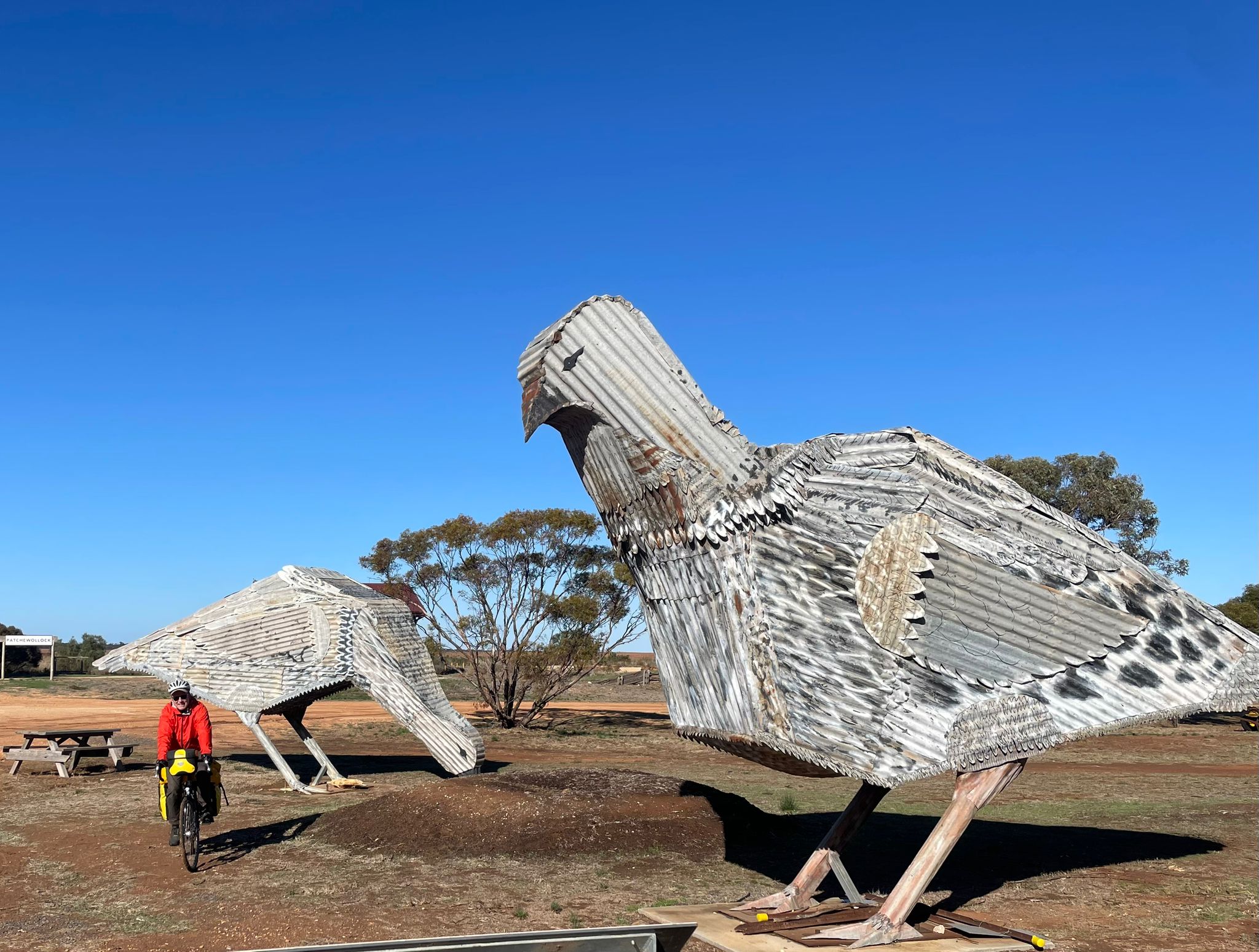
The Mallee forests seem dry and uninviting when you speed past in a car, but riding through them, you get to appreciate the variety of colourful birds going about their business in the trees: without seriously birdwatching today, I had close encounters with: Mallee Ringneck parrots, galahs (a super common Australian bird, but seriously underrated - a chunky pink and grey parrot. Really?) red-rumped parrots, mulga parrots, spiny-cheeked honeyeaters, singing honeyeaters, red wattlebirds, crested pigeons, bronzewing pigeons, Australian magpies, pied butcherbirds, white-winged choughs, woodswallows, a little eagle, and even a bunch of black ducks in a wetland at the low point of a wheat farm.
cycle.travel set a mainly sensible path sticking to the delightfully quiet Patchy-Hopetoun Road most of the way. It did suggest sending me off on an unsealed side road for 5 km at the 13 km mark, but after a bit of recent rain, this road sign-posted ‘wet-weather road only’ was an uninviting proposition and I stuck to the bitumen.
That decision weighed on me as I approached the final stretch into Hopetoun, which cycle.travel suggested should be tackled by the unsealed road heading south to a small sealed backroad for the last few km into town. I took it and the gravel road to the Henty Highway was fine. The road over the highway, 1.6 km to the sealed back road, was smaller and sandier, requiring getting off my road bike and walking for about 300 m of it. I had the sealed backroad to myself, and it met the Henty Highway 300 m out of town. That 300 m was unpleasant enough to confirm that the unsealed roads were worth the detour: in that short distance, I was passed by a speeding P-plate driver with inches to spare.
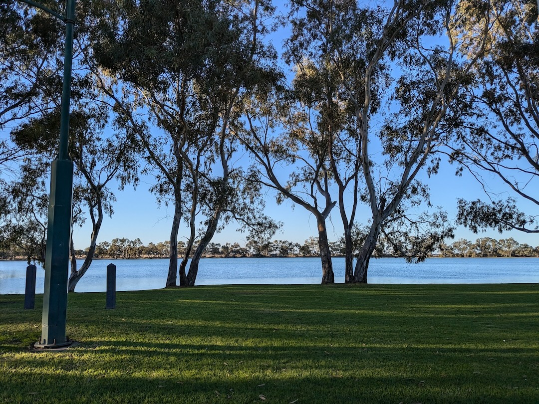
Lake Lascelles in Hopetoun was a sight for sore eyes. After settling into my cabin, I ventured out for a surprisingly good Indian dinner at the cafe in town.
Day 2. Hopetoun to Birchip
Monday 17th June 2024 (75 km of quiet back roads, 33 unsealed, inculding 8 km of the first circle of unsealed hell, and 5 km of the second)
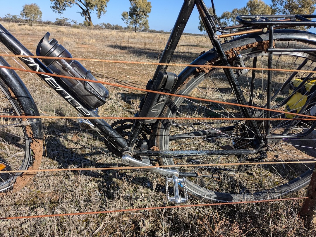
An ill-advised late start initially on a pleasant sealed road before turning onto Angle Road along Yarriambak Creek (with camping sites). Angle road appeared at first to be smooth and pleasant but 5 km in, my tyres had gummed up and filled the mudguards with mortar-like clay that rendered the bike immobile. After clearing the mudguards out, I got another km or so before it happened again, and then again. So I took my mudguards off, and it was easier, yet still a bit gummy all the way to the Henty Highway at Roseberry. (Presumably, in drier times, this road would be fine…perhaps up to late Autumn?)
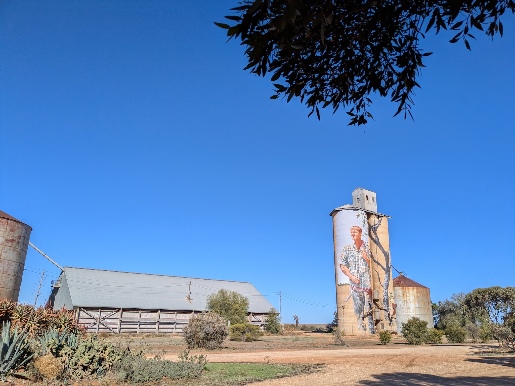
It was 1:30 by the time I stopped for a quick lunch at the Roseberry silo, with 60 km to go and 4 hours to sunset. I belted down the welcome sealed Roseberry East Road for 15 km until it turned to gravel for 5 km, which was ok. A huge tractor pulled out in front of me just before the gravel: at first I was a little annoyed, but as it happens he was the perfect pacer for me tootling along at 19 km/h. We gave each other a friendly wave as he turned off, just before the gravel turned to sand (urgh). Five km of sand required a fair bit of walking and increasing concern that I wasn’t going to get to Birchip by dark.
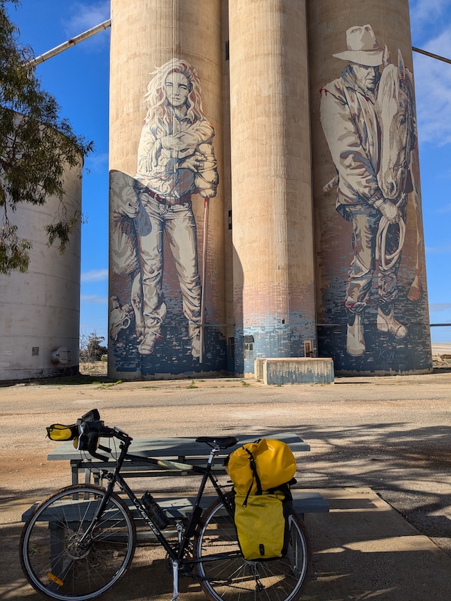
Fortunately at the next turn, the unsealed road was better for the 3km to the very welcome narrow bitumen of Curyo West Rd. Lots of bitumen let me sit on 20 km/h for an hour as I was getting increasingly tired, but acutely aware of the sun setting behind me. Back on a reasonably good 3-km gravel Road to the Sunraysia Hwy before turning off onto another narrow bitumen road. (At this stage, I had seen two cars all day). Alas, the route I had originally planned kept heading straight to the C244. It started as a nice bitumen road, but suddenly turned into a sandy wet-weather only road 5 km from the C244. So I had no other choice than to turn right along the bitumen to the Sunraysia Hwy, for the 7 km ride into Birchip. The sun had set by the time I hit the highway, and I was quite nervous about the prospect of riding the B road at dusk, but most of the traffic came toward me and only one car passed me my way as I belted down the road at 25 km/h on completely spent legs.
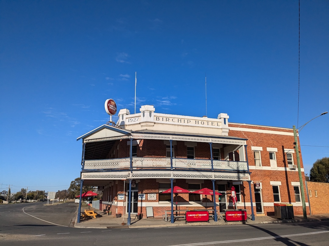
I arrived at the Birchip pub as it got dark, about as spent as I have been after a day’s cycling. So much for taking it easy.
It was a day when the physical challenges distracted me from appreciating the wildlife, but I think, even given that, there was less to see than the day before. As I approached Birchip, I did notice and increasing prevalence of flocks of Eastern Rosellas, which made me feel that I am getting closer to my ultimate destination.
The Birchip hotel was basic but the perfect destination for my exhausted body (after I staggered up the stairs to my room). After a lie-down and a shower, I was suitably refreshed for a decent pub meal downstairs, and was surprisingly more able to re-climb the stairs to bed for a solid, warm night’s sleep.
Day 3. Birchip to Donald
Tuesday 18th June 2024 (48 km of relatively quiet C roads, albeit with a few B-double trucks)
A couple of cafes and a bakery meant breakfast and lunch provisions were easy for a 10 am start out the Corrack Road. A back C-road, but it’s a more direct route to Donald than the Henty Highway which probably explains the half a dozen or so B-double trucks (going my way) that I had to contend with on the ride to Donald.
It was a straightforward 59 km ride: all on bitumen to Donald, which is just what I needed after day 2. Despite the B-doubles the roads were quiet enough. Today, in less of a hurry, I had time to seek out wildlife, but was sadly disappointed. The treeless wheat farms south of Birchip seem to have extirpated a lot of the bird life. It made me appreciate all the more, the extraordinary bird show of the Mallee Forest on day 1.
It was 50 minutes out of Birchip before I could find a tree to have a rest on. Some wattle birds to keep me company was as exciting as it got.
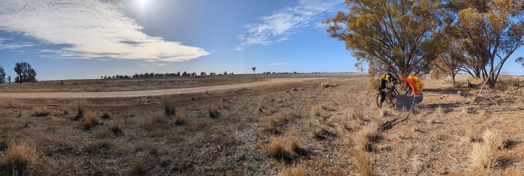
Roadside trees remained uninspiring, but I decided to stop for lunch under a tree with a log to sit on 19 km from Donald (feeling very happy about being so under control compared to yesterday). 7 km out of Donald, there was a sign for a roadside stop indicating a picnic table, and I figured it was worth a go. It wasn’t. The roadside stop was an unsealed side road for half a km or so that seems to have become a de facto tip, with all sorts of rubbish littering the treed verge. It took a second look to recognise the sad concrete picnic table amongst the rubbish.
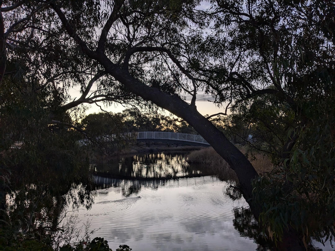
In my many drives through Donald over the years, the Donald Duck Country signs at the entrances to town have always raised a micro-chuckle. But I had never bothered to investigate further. In fact, Donald is a charming town on the quite beautiful Richardson River (where lots of ducks do indeed seem to hang out). The expansive redgum forests were a surprise after the miles and miles of bare wheat and sheep fields that dominated the day.
The Riverside Motel, where I chose to stay, was an extra delight: a view directly overlooking the river through the redgums and a private balcony where I could string up my bike for some maintenance (and re-fitting of the mudguards I’d been carrying in my bag for the last couple of days). With the choice of three pubs for dinner, I went with the most distant Donald Hotel and had a passable pizza for dinner before heading back for another warm night’s sleep out of the bitter cold.
Day 4. Donald to St Arnaud.
Wednesday 19th June 2024 (55 km of mostly quiet back roads; 9 km good unsealed, and the last 5 km on a busier C road up the hill into St Arnaud)
Really cold today, and I set off rugged up (after breakfast in the motel) out along the quiet, sealed road east. It was much more relaxing, not having to worry about B-doubles and looking behind every time a car approached from ahead. The countryside was just as dire and treeless as the day before, and I just powered along for over an hour before finding somewhere vaguely inviting for a rest. When a patch of forest appeared, it became apparent that I had at last comprehensively left the mallee, with much larger trees growing happily. Still not a lot of bird life to keep things interesting though.
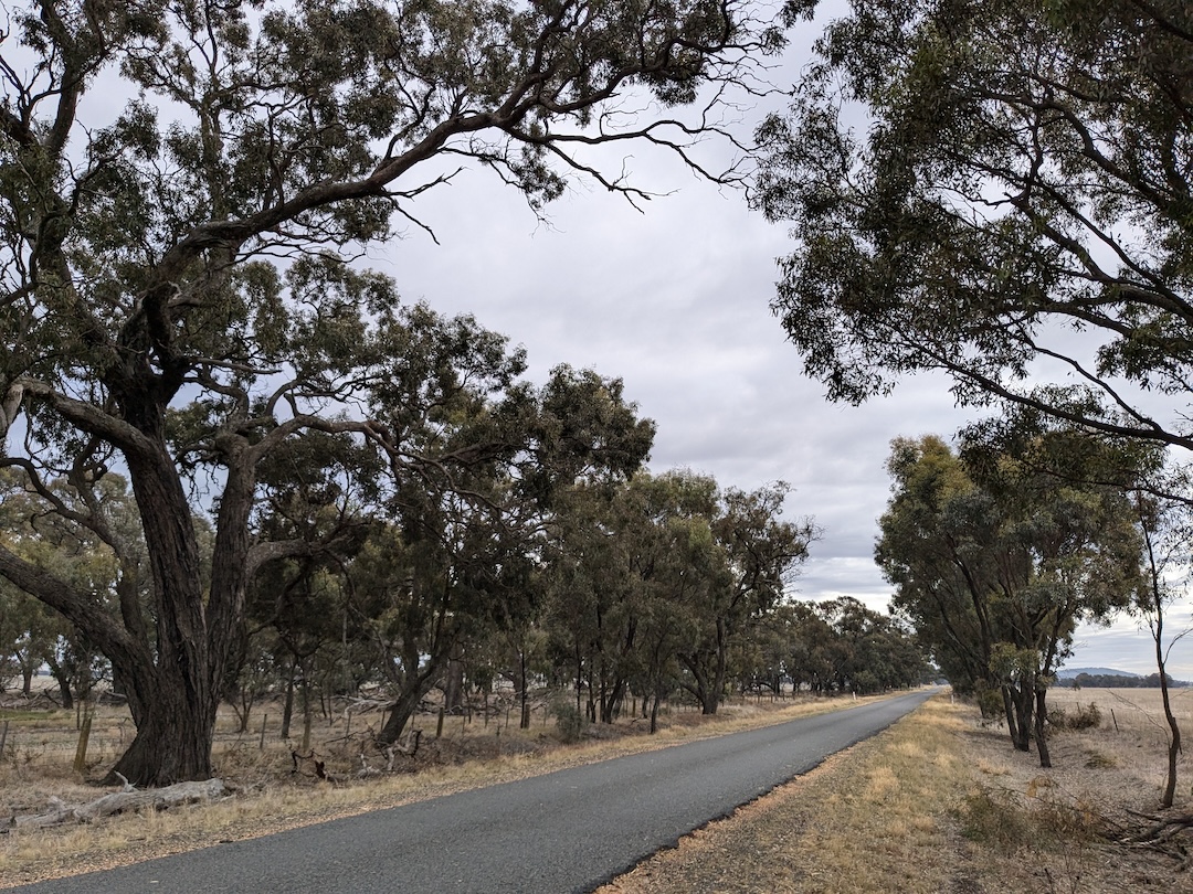
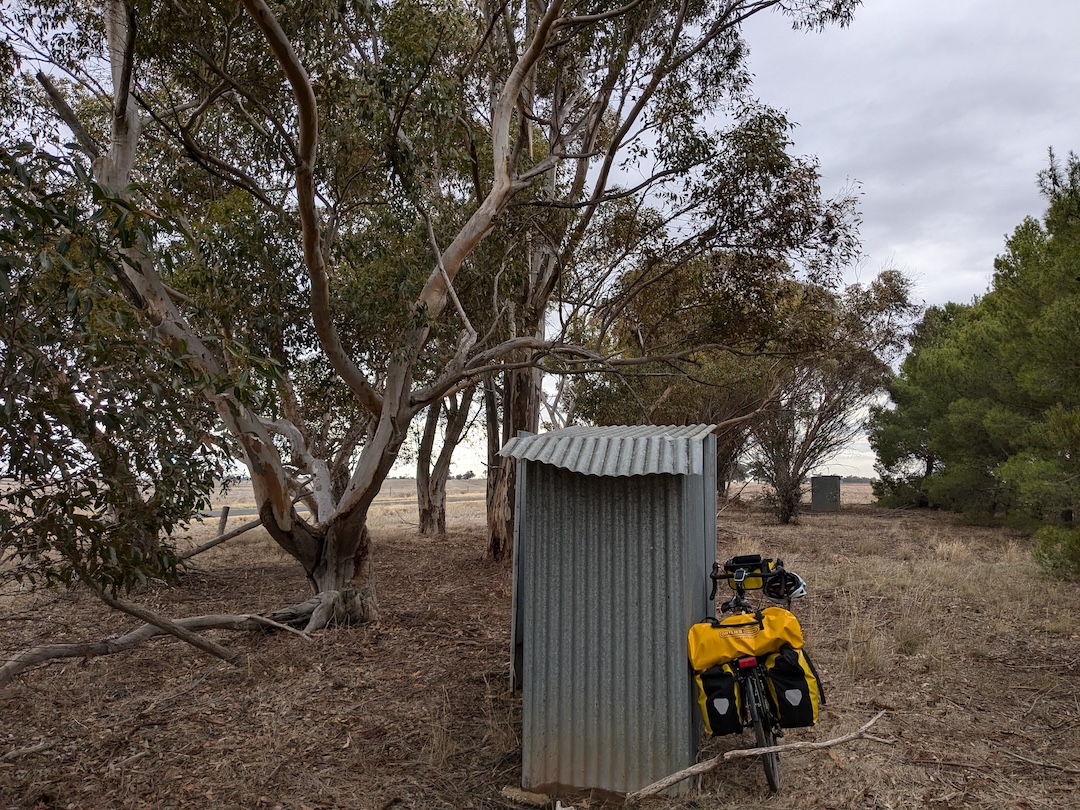
The 9 km of unsealed road today were all fine, and I found myself at the first vaguely interesting place to stop for a rest, 18 km from St Arnaud at 12:30. Nichols Plain was marked by an historical marker, and consisted of two ghost galvanized iron dunnies and a ghost tennis court, apparently the site of the Nichols Plain tennis club that operated in 1947. I had the bitumen road south to myself for the 12 km to the larger St Arnaud-Wycheproof Road. In fact, all day to that point I had encountered a total of 1 car going my way, and three trucks coming the other way - in all cases I had plenty of time and warning to get off the skinny road and let them pass.
I steeled myself for the ride up the hill into town with lunch on a culvert over a creek (a low bar having been set for nice places to stop). On the larger road into town, through a forest at last, I pulled off the road to let two B-doubles pass (they were loud enough to give plenty of notice of them bearing down on me).
St Arnaud was less enticing than Donald (surprising really, given it’s bigger), but my motel room was warm, and would do for the night. I was early enough to do some laundry in preparation for what promised to be a rainy next day.
Day 5. St Arnaud to Dunolly
Thursday 20th June 2024 (65 km the first 60 on quiet back roads, the last 5 on a quietish C road)
On any other day, I would have appreciated the ride out of St Arnaud as a much more interesting ride than the last few days: first along the quiet back road through the forests, opening to farmland along well-treed roads, before hitting the larger, but still quiet St Arnaud-Donelly Road.
But the forecast was for rain from ‘late morning’, so I was focussed on making it to Bealiba (at the 42 km mark) before then to take shelter while the rain passed. I uncharacteristically managed to hit the road by 8 am. I had rugged up with all available layers, but despite the temperature being < 5 degrees, I stopped after about 4 km, and reduced the number of layers to shirt, reliable raincoat, bright orange (but not very water resistant) outer raincoat. The 7 km of unsealed road was much better quality than I feared (obviously scarred by the Hopetoun to Birchip experience), and I was able to ride on the gravel almost as fast as on the bitumen.
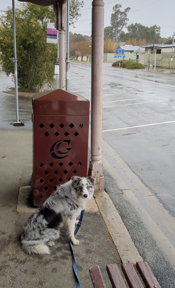
Remarkably, my plan worked and I arrived at Bealiba dry, and checking the radar, found I had beaten the rain by only half an hour. I took shelter under the awning of the Bealiba shop/post office and had a lovely couple of hours slowly drinking two coffees (refill free!), and chatting with the interesting collection of locals dropping into the shop for their morning papers and mail, and helping Lassie the border collie remember that she’s not supposed to chase cars.
The radar suggested the pause in the rain would get me to Dunolly. Sadly, it began drizzling 10 km from Dunolly, and kept going, making it a damp, cold ride. I was only dimly aware of how pleasant the surrounding countryside was, and barely looked left and right as I rode through the town to the motel 1km on the other side, thinking only of getting dry and warm. Dinner at the pub was good (and quiet).
Day 6. Dunolly to Bendigo
Friday, 21st June 2024 (63 km, mainly quiet back roads - 9 unsealed-, some C roads, busier backroad into Bendigo, and a final 8 km on a cycle trail)
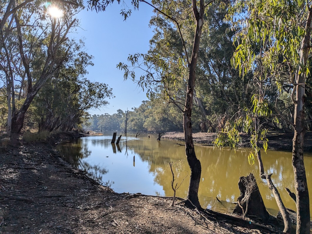
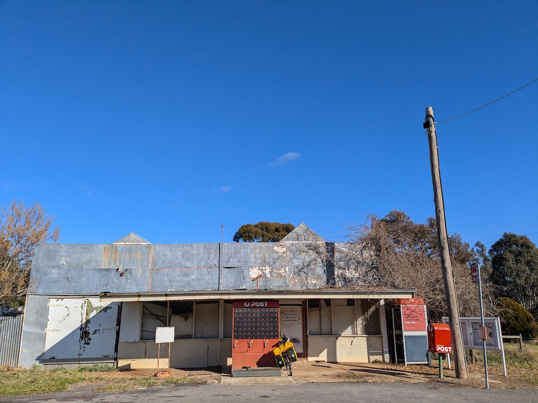
At 10 am, the C277 to Bendigo was quiet for the 9 forested km to the Laanecoorie turnoff (only 3 vehicles passed me, unfortunately one was a B-double). I had the backroad through to Laanecoorie pretty much to myself. Laanecoorie on the Loddon River behind the Laanecoorie Weir seems to have had better days, with its shop and post office reduced to a bank of post office boxes.
The C277 was busier by the time I rejoined it around midday for the 11 km to the next backroad. Even though the verge was half a metre or so wide for most of the way, I needed to pull off the verge every km or so to avoid oncoming and approaching-from-behind vehicles and me meeting at the same point. Arguably over-cautious, but one truck powering past me at full speed without a hint of giving me a little room as I pulled off suggested otherwise.
The backroad starting at km 32 was quiet, and the unsealed bits were fine. It was a nice ride through the Lockwood South Forest before rejoining the C277 for the last km to the big roundabout where it crosses the big A road to Mildura. On the other side of the roundabout there was a generous verge almost all the way to the final backroad stretch to Bendigo.
Merindah Road was quiet, but Crusoe Road, which I had been looking forward to, as the bottom end of it was a familiar access point to the Bendigo Creek bicycle trail, was less pleasant. Despite the 80 km/h limit, it was much busier than other roads today with a higher proportion of idiots who don’t see the need to give cyclists some space on the road2. With my knee complaining, the final hill over the Bendigo regional park was hard work, but it was a welcome roll down the other side to the cycle trail, which took me all the way into town along familiar bitumen off- and on- road trails.
Footnotes
In the dim distant past of 1982, three friends and I rode two-thirds of the trip from Mildura to Ouyen over a wild September weekend (on road tyres), catching the Vinelander to Mildura on a Friday night and back to Melbourne from Hattah on the following Monday night. To this day, there are lots of great camping options along the Murray south of Nangiloc for night one, and a spectacular campsite at Hattah Lake for night two. That leaves 60 km of mainly unsealed roads to Ouyen on night three.
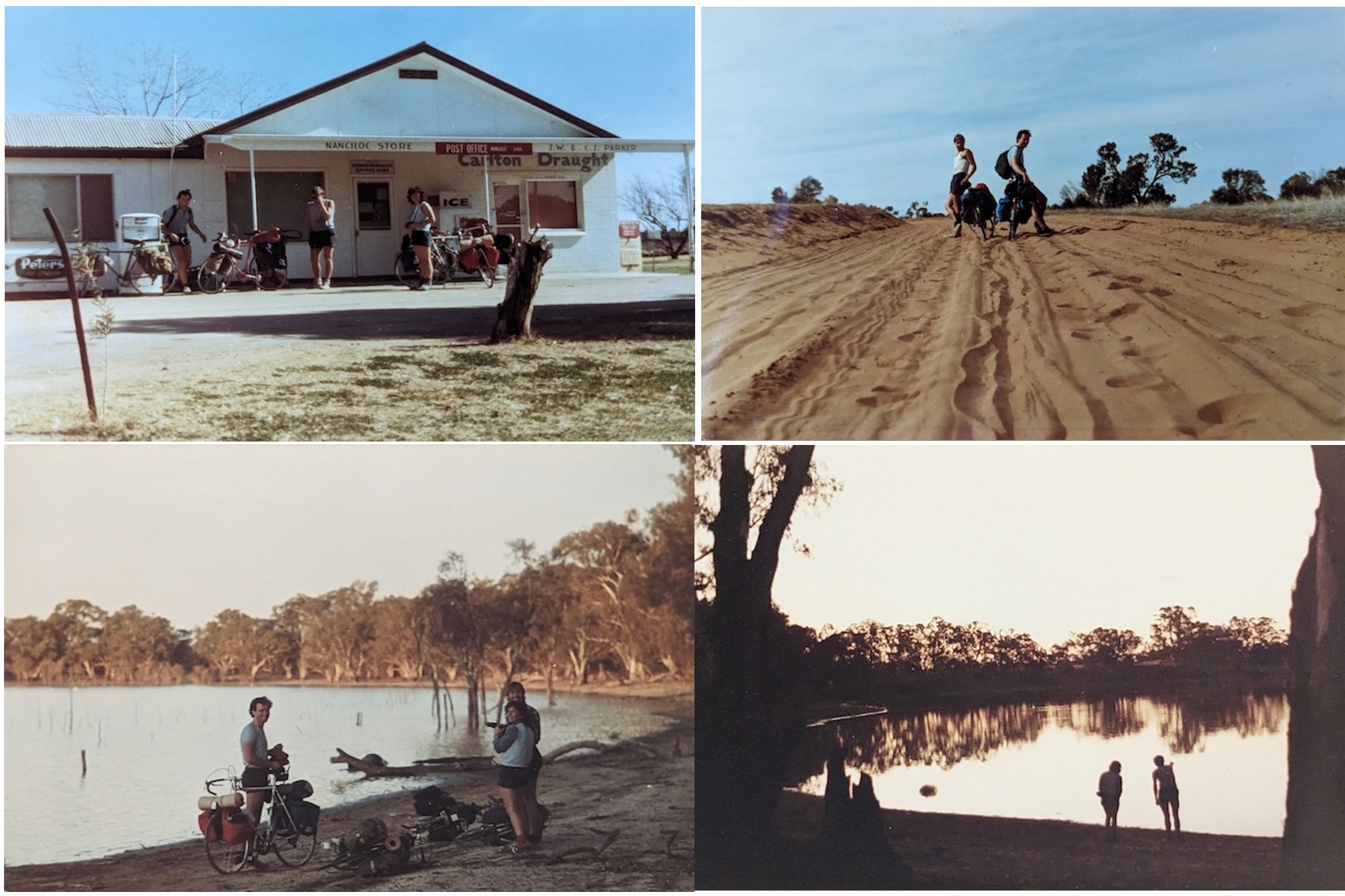
I’ve plotted the route we took here (including my suggestion for riding on to Ouyen while avoiding the too-busy Calder Highway)↩︎
In retrospect, the combined unpleasantness of Crusoe Road and of the 11 km on the C277, makes me suspect that continuing north to Newbridge from Laanecoorie and across to Maiden Gully via backroads to enter Bendigo via Maiden Gully Road may have been a better bet. But there’s no guarantee that Maiden Gully Road would be used by any fewer idiots than Crusoe Road.↩︎