Melbourne to Metung
A two-week car-free tour to and from Melbourne, with 8 or 9 days cycling. Train and ferry to Cowes, cycle to Metung, and return by train from Bairnsdale. Mainly easy cycling on off-road trails and quiet back roads (we struck 5 km of difficult, sandy road past Port Welshpool, which will not be a problem once the rail trail is extended to Alberton). You could shorten the number of cycling days (and keep it relatively easy) by riding to Leongatha on day 3 and Foster on day 4. We didn’t camp and were happy with all the accommodation we found. It’s worth booking accommodation ahead, even in the off-season (we met people who were having trouble finding accommodation in early November). We needed to self-cater in the evening at Port Albert and at Seaspray (and to pack lunches heading to Seaspray and Paynesville), but otherwise lots of good coffee and food on offer at regular intervals along the whole route.
Day 1. Richmond to Cowes
Sunday, 6 Nov 2022. A leisurely Sunday of public-transport commuting to get out of Melbourne: the Metro train from Richmond to Frankston, the V-line train from Frankston to Stony Point, and the passenger ferry from Stony Point to Cowes on Phillip Island.
Maybe we were lucky, but the connections worked a charm and we found ourselves in Cowes less than three hours after leaving home. The first connection was tight: we were 7 minutes late into Frankston. Fortunately, the Stony Point train waited for us to board before leaving 2 minutes late. We had put the bikes in the front carriage of the Frankston train (even though it’s not strictly allowed), which made the change quick, as the train pulls in behind the departing Stony Point train.
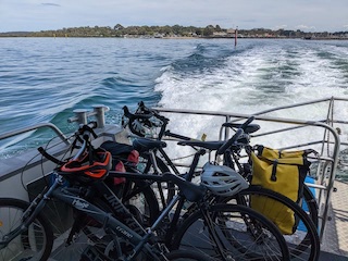
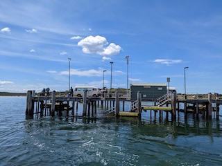
The Ferry arrived at Stony Point at the same time as the train, and there was a big crowd waiting to get on. It was a bit of a bunfight, but they called for pre-booked ticket holders (including us thankfully) to board first (-ish: not the greatest of systems). Westernport was a millpond, and the crossing to French Island and then Phillip Island was perfect.
We managed an early check-in to our comfortable room in the Kaloha Holiday resort, a short ride back up to the Cowes Pub for a late lunch, a gentle walk out the back gate of Kaloha to the beach for the first swim of the season in beautiful clear water, despite the recent rains. And a night of fine-dining and nonsense at Ânerie, finished off with a sunset walk back along the beach
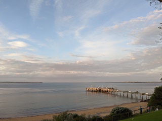
Day 2. Cowes to Wonthaggi.
Monday, 7 Nov 2022 (41 km, bike trail all the way).
After a short stretch of on-road bike lane along the main drag of Cowes to Ventnor Road, the trail is off-road and easy almost all the way to Wonthaggi: concrete all the way to Newhaven pretty much. (A short unsealed section at which the sign threatens the end of the bike track, but it’s only for ~100 m over which it’s shared with a couple of farm driveways). Shortly after the Newhaven College (point 43.8 on the map), the track crosses the road with the choice of the unsealed and shady (in the morning) service road or the sunny concrete footpath (with driveways to cross) for a km or so along the edge of Sunset Strip. Thereafter concrete path with very civilized road crossings all the way to Newhaven.
I had expected a need to walk over the Philip Island bridge, but the footpath over the bridge is plenty wide with high enough barriers for a safe, scenic ride over the bay to San Remo. Uncharacteristically, we weren’t up for a coffee in San Remo, but we paused under the trees, and went looking for the famous stingrays on the beach (they had seemingly taken the day off).
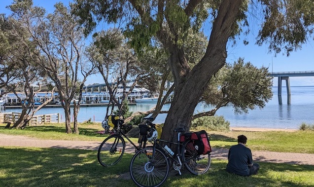
After the first km or so out of San Remo, the trail becomes mainly unsealed (hard clay), with a couple of challenging climbs that pushed us beyond our ‘take-it-easy’ standard on this warm, still, sunny day. Our exertions required a lengthy rest under a shady tree at the top of the hill.
But once the track crosses the Kilcunda Road, it joins the Bass Coast Rail Trail (unsealed but a firm surface), with only the gentlest of hills, as you would expect from a rail trail. There are sections heading into Kilcunda where it looked for all the world like the track was heading uphill but we were powering along with little effort. Lunch at the Kilcunda General Store, followed by a visit to Kilcunda beach. But the afternoon breeze rendered our overheating on the hills of San Remo a distant memory, and we decided against a dip.
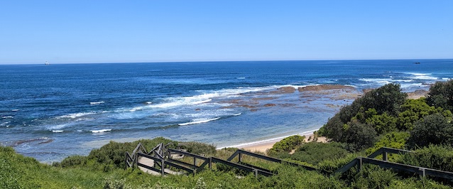
The trail along the coast was also unsealed, heading along the coast at first, then behind the dunes, past a big coastal wetland, over the Powlett River, and then through farmland into Wonthaggi. We stayed in a cabin in the caravan park for the night.
Day 3. Wonthaggi to Korumburra
Tuesday, 8 Nov 2022 (45 km, mainly back roads).
In planning today’s route, we aimed to avoid the main Wonthaggi-Korumburra and Inverloch-Korumburra Roads as much as possible. Other than 1 km along the former, and a few km along the latter, the ride was along delightfully quiet back roads, mostly sealed. For the first 30 km, it was a fairly flat ride through mainly cleared agricultural land (but with more pockets of forest than I was expecting). There wasn’t a huge amount of shade until the forest at the Inverloch Road, where we had our first breather of the morning, on the grass under a shady tree at the first driveway north of the intersection.
Inverloch was only 6 km south at this point, and perhaps on a cooler day we might have entertained a detour for a coffee at Inverloch. But we wanted to tackle the hill before it warmed up too much. Five km up the Inverloch-Korumburra Road, just before it heads up the hill, we turned right onto the much quieter Stewarts Road, which took us along the base of the hills, over the Powlett River to Outtrim (no shops). With still not much in the way of climbing, we finally turned left onto the unsealed Ryeburn Road across the (much sadder looking) Powlett River again.
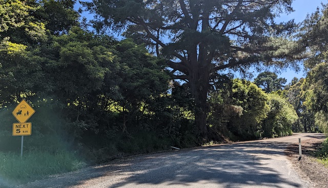
The climb didn’t really start until Clancys Road. It was a steady, relatively low gradient for ~5km, and we just took it slowly with lots of breaks under the occasional shady roadside tree. Clancys Road, initially gravel, was sealed after ~2 km, and as we got higher, we were treated to views south to Wilsons Prom.
A final detour to enter Korumburra along Shellcot Road, rather than the busier Wonthaggi Road, was a fun roller coaster until the last 9% climb into town, which required a lengthy recovery in some cool grass before heading for the shops. A quiet afternoon was had, and dinner at the middle pub was pretty good, but we managed not to be seduced by the bright lights of Korumburra, and retired early to our motel room.
Day 4. Korumburra to Meeniyan
Wednesday, 9 Nov 2022 (34 km, rail trail).
There was a moment today, as we were enjoying iced coffees made by Joe the Barista at the health food shop in Leongatha, when we thought that perhaps we were taking it just a little too easy on this section of the trip. In retrospect, we could easily have rolled 15 km down the hill after lunch yesterday, to Leongatha, which seems to have a bit more to offer than Korumburra. And then we could easily have ridden the 50-ish km to Foster, cutting a day off the trip. But, as the afternoon heated up, we were happy to be just doing an easy, mainly downhill, 34 km today (plus an additional 4 km for Chris who discovered he’d left his helmet at the top of the hill 2 km out of Korumburra).
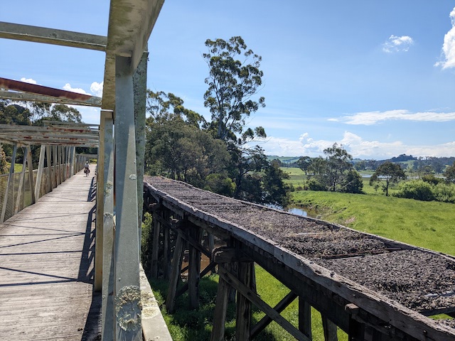
We were able to appreciate the rolling hills between Korumburra and Leongatha from the leveled path of the rail trail. After our late morning coffee in Leongatha, it was only another 10 km along the flatter, treed countryside to a lazy lunch at the Ethical Food Store in Koonwarra. The final 8 km to Meeniyan was shady and flat along the Tarwin floodplain, cris-crossing the river and other wetlands full of water after the recent rains. The warm day became a lovely mild night for a passeggiata around the shops and community garden of Meeniyan.
Day 5. Meeniyan to Foster
Thursday, 10 Nov 2022 (36 km, rail trail).
A great section of the rail trail today. Lots more shade, more interesting bush, more birds and wildlife. But it was warm again, and we overheated enough on the gentle hills to be thankful for our take-it-easy itinerary. We began slowly (as usual) with breakfast at Moos (good) a last visit to the Meeniyan community garden, followed by a hasty passing of Meeniyan’s extremely enthusiastic swooping magpie. It wasn’t far to the safety of the Meeniyan bird hide at their impressive sewage treatment plant.
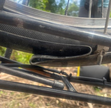
After a minor mechanical (an impressive jam of the back wheel by a large stick that bent the mudguard over itself: it magically unfolded once the wheel was off and the wheel was remarkably unscathed), we lunched at Fish Creek (hot). We loved the forest past Fish Creek, including some small patches of rainforest, as we climbed to the impressive lookout past Mt Hoddle looking out to Wilsons Prom. A longish ride through the burbs of Foster to the town centre and out to the pretty swish Prom Country Lodge. A rainy evening in Foster may be the harbinger of some less clement weather…

Day 6. Rest day in Foster.

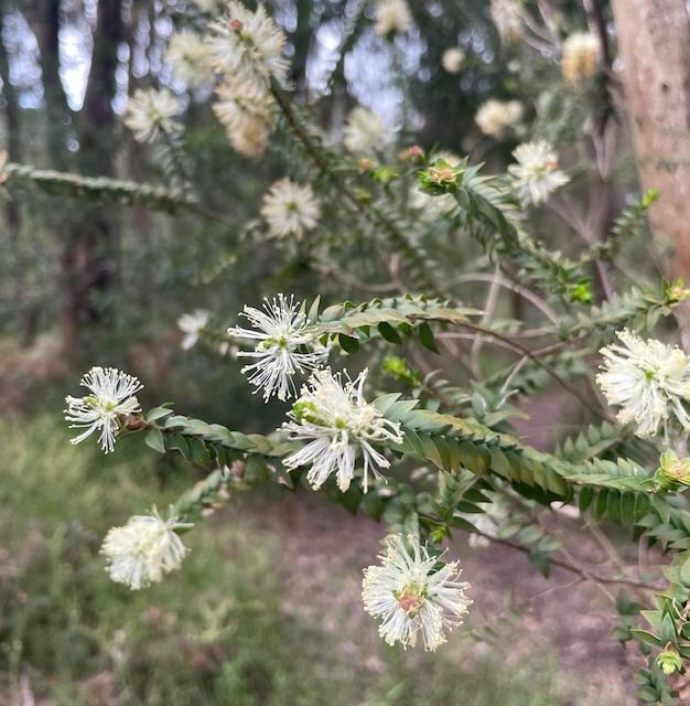
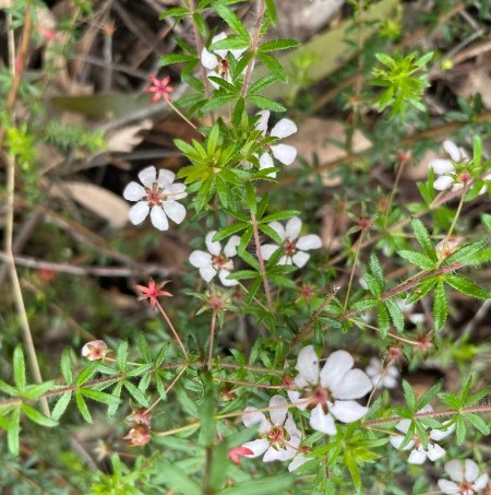
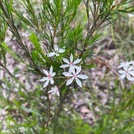
Friday, 11 Nov 2022. A cooler, dry day in Foster after a night of rain. To avoid being complete slugs, we took a short (22 km return) ride out to Port Franklin, and admired the army of small green crabs going about their business among the mangroves. Back in Foster, we took a short walk in the New Zealand Hill Flora Conservation Reserve. Very pretty, with lots of plants and flowers that were quite different from what we are used to around Melbourne.
Day 7. Foster to Port Albert
Saturday, 12 Nov 2022 (65 km, rail trail, then mainly back roads, sealed, unsealed and some sand).
We had breakfast in the only cafe of 4 in Foster open on a Saturday morning before our gentle 10-km ride to Toora along the rail trail. At Toora, we were harassed by the very enthusiastic swooping town magpie, and were tempted by a coffee in the Windmill Cafe, but it was too soon after our Foster coffee, so we headed out again - swooped again next block down. It was another 15 km to Welshpool for coffee and a scone.
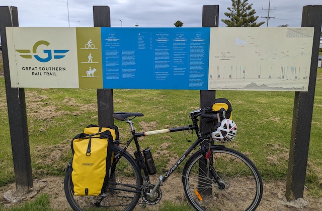
It was still a bit early for lunch, so we took our packed lunch on a small detour to the end of the rail trail at Port Welshpool. The trail signage leaves a bit to be desired in spruiking the history of the area, only beginning 200 years ago. The route we took from Port Welshpool is likely not to be necessary in the near future, as an extension of the rail trail to Alberton is planned (early mid-2023 according to the sign, but no there was evidence of works in progress). Here are some notes about our alternative route: there area some pros and cons!
We left the rail trail, turning onto the delightfully quiet Telegraph Road, initially paved, and then a firm, unsealed road for 10 speedy km, through a coastal banksia forest, not encountering a single car. We were finding the gentle undulations a pleasant change from the flatness of the rail trail, and were congratulating ourselves how good the road was, until suddenly at point 17.4 on the map, it stopped being good.
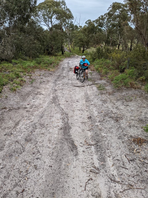
We struggled in the sand for a short way, and decided it might be a better bet to take the inland track heading up the creek. We can’t be sure if it was any worse than continuing on Telegraph Road, but we had to walk our bikes along sandy stretches for about a third of the next 4.5 km. We definitely made the wrong call at point 19.8, and followed a track that ended up being an even narrower sandy track before rejoining the larger track to the north of the forest. The final km north was a particularly difficult slog through deep sand in places, until we reached Ti-tree Road, which was thankfully paved. Telegraph Road was paved from the intersection with Ti-tree Road, and it was a good ride to the South Gippsland Hwy, where we had to contend with cars for the first time all day for the 2 km into Alberton.
We turned south at Alberton to Port Albert at first along the Port Albert Rail trail, but it wasn’t great: coarse gravel that made riding difficult. The fairly quiet road that the trail follows was better. The weather had been perfect (overcast, still, cool) all day, but turned almost as soon as we arrived at our motel in Port Albert: misty rain, with a cold, blustery southerly. We hunkered down for a night of self-catering in the absence of any other options.
Day 8. Port Albert to Seaspray
Sunday, 13 Nov 2022 (75 km, mainly back roads, all sealed).
Remarkably, Port Albert was fine and still when we woke, giving us the opportunity to have a look around before we left. Like Port Welshpool, Port Albert seems to have suffered during the pandemic: a swish looking restaurant on the dock, and a couple of cafes on the main drag, all closed.
Despite the warnings of biblical floods a couple of days ago, the day remained fine, even approaching too warm for us at times. It was a long, flat ride starting out interestingly enough through Tarraville. We hadn’t counted on getting lunch anywhere today, and had packed our own, but the pub in Woodside has recently been done up and was offering lunch (We restricted ourselves to a lime and soda and a machine coffee from the servo over the road, as the Pub’s coffee machine hadn’t arrived yet).
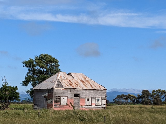
Eight km along the South Gippsland Hwy to the Seaspray Road was ok: not too busy and a wide verge to ride on all the way. The Seaspray Road was long and not super interesting through lots of cattle country. We soon learnt to keep our shady rests brief: it only took a couple of minutes for the mozzies to descend every time.
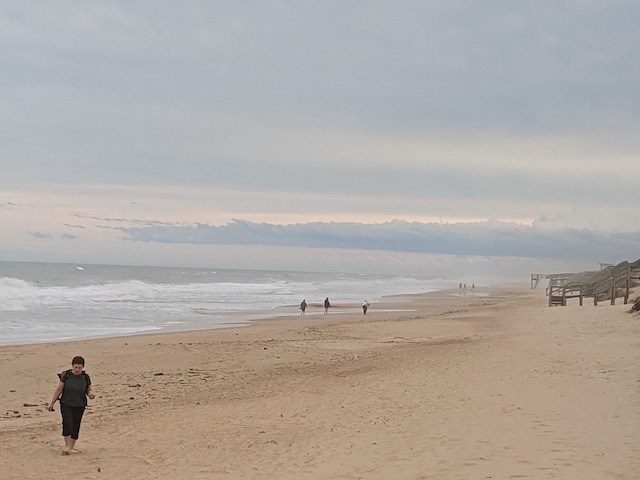
The Seaspray Caravan Park was the only place where we could get a single night’s accommodation in town (in a caravan), and they were very accommodating. We spent the afternoon strolling along the beach to the outlet of Merriman Creek where we cooled down letting the creek take us to the sea. It was pleasing to find a large interpretative board at the creek describing the local indigenous history. We capped the afternoon off with a beer overlooking the sea at the surf-lifesaving club. (They do evening meals some nights, but not tonight, so another night of self-catering back at the caravan park.)
Day 9. Seaspray to Stratford
Monday, 14 Nov 2022 (55 km, mainly back roads, all sealed).
We enjoyed a wild night of thunder, lightning, roaring winds and pelting rain from the comfort of our caravan. Fortunately, the kind people at the Seaspray Caravan Park were happy for us to continue taking shelter all morning, and we finally headed off around midday, only to the Seaspray General Store for an early lunch while the last bands of rain blew through. The belting north-wester made the ride north to Sale challenging at first, made more entertaining by a brief spell of sideways rain.
But the rain dried up and the wind slowly turned to the west, and the gentle climb up to the hill before Longford ended up being fairly pleasant. We saw lots of black cockatoos in the pine plantations, and a windblown koala that seemed to be having less fun than us.
The fun roll down the hill into Longford took us to a wide expanse of the inundated Latrobe floodplain, and the bike route up the swollen Thomson River into Sale was dry but excruciatingly close to flooded, until about a km from Sale, where the path did dip under 4-6 inches of water. We managed to pedal tentatively through the 50 m or so of flooded path, before deciding our planned path through the Sale Wetlands was foolhardy. The high and dry highway into the Sale CBD was fine.
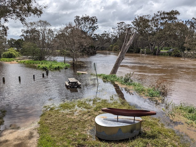
After a brief stop in Sale, and a wrong turn onto the main highway, we took the back road to Stratford, with the wind at our backs until the last turn back to the highway. We needed to dash through the narrow pinch of the highway under the railway bridge outside Stratford, to get onto the bike trail into town to our cabin overlooking the river. The rain began as soon as we arrived (while giving the bikes a little post-flooded-path TLC), and it made our walk up to the pub for dinner a bit damp. We had dinner with a couple of like-minded cyclists who gave us lots of useful tips for future European adventures. The night sky was clear and the westerly was chill for our walk home.
Day 10. Stratford to Paynesville
Tuesday, 15 Nov 2022 (74 km, back roads, all sealed).
After a civilized breakfast at the Badger and Hare cafe, we packed up just in time for another cold squall from the west (something about Stratford). But by the time we bought some provisions at the supermarket and headed out of town, the sky was blue and the fresh westerly was at our backs. The wind made the trip to Paynesville arguably the easiest 74 km we have ridden: powering along at 30 km an hour with little effort for most of the way (keenly aware that this seemingly blistering pace for us was about half the speed that racing cyclists manage over similar terrain).
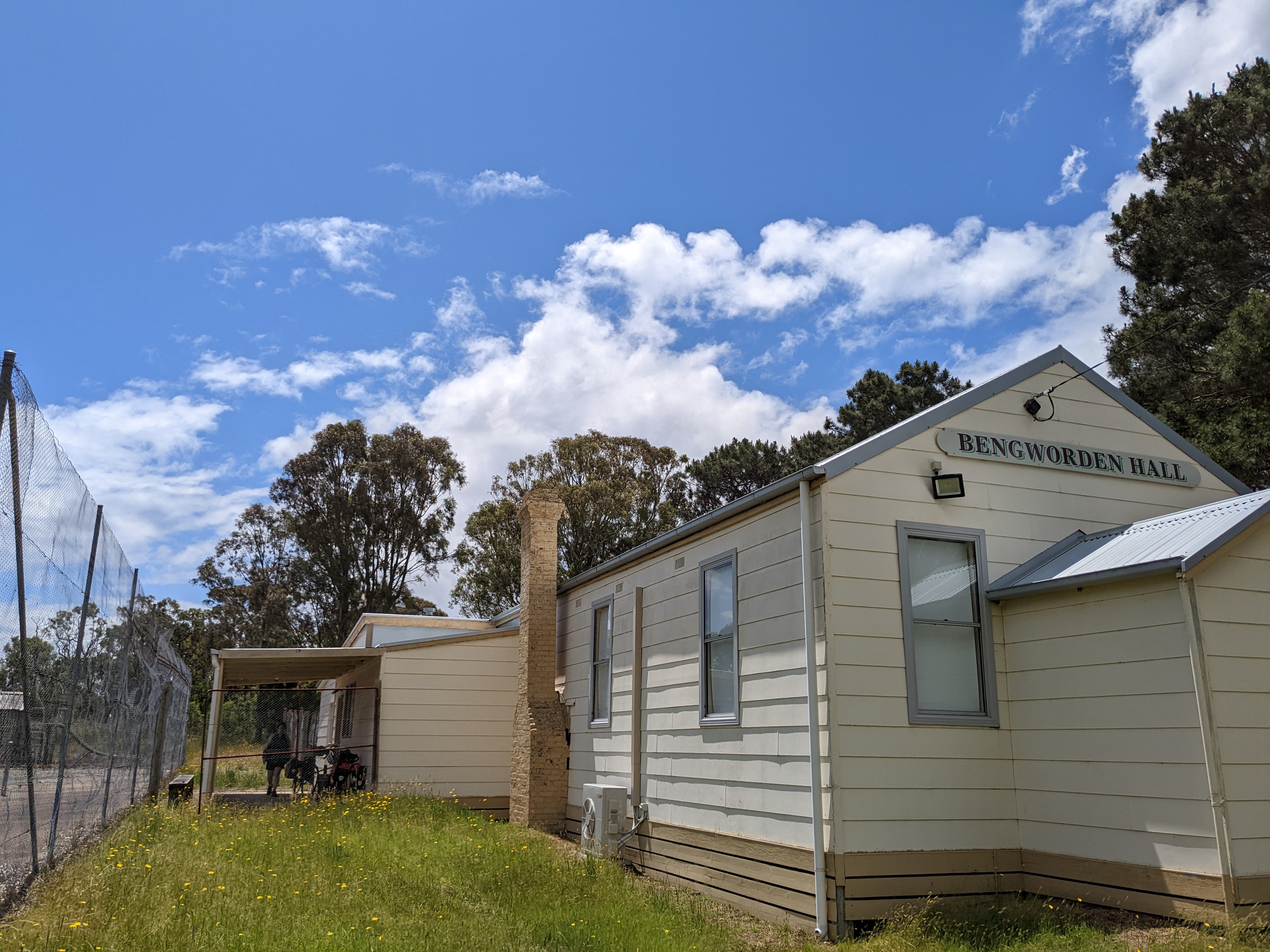
We stopped for (a self-catered) lunch under the shelter of the Bengworden Hall, and waited for the second (and only) squall of the day to pass through. The farming country we passed through today seemed a bit less grim than the ride into Seaspray: no doubt partly because of the easy ride and the cool day, but also the more treed roads. The Bengworden Road was quiet enough (only one or two hoons roaring past with less care than we would prefer), and we pretty much had lower Goon Nure, Rowani, Peeks and Lake Victoria roads to ourselves.
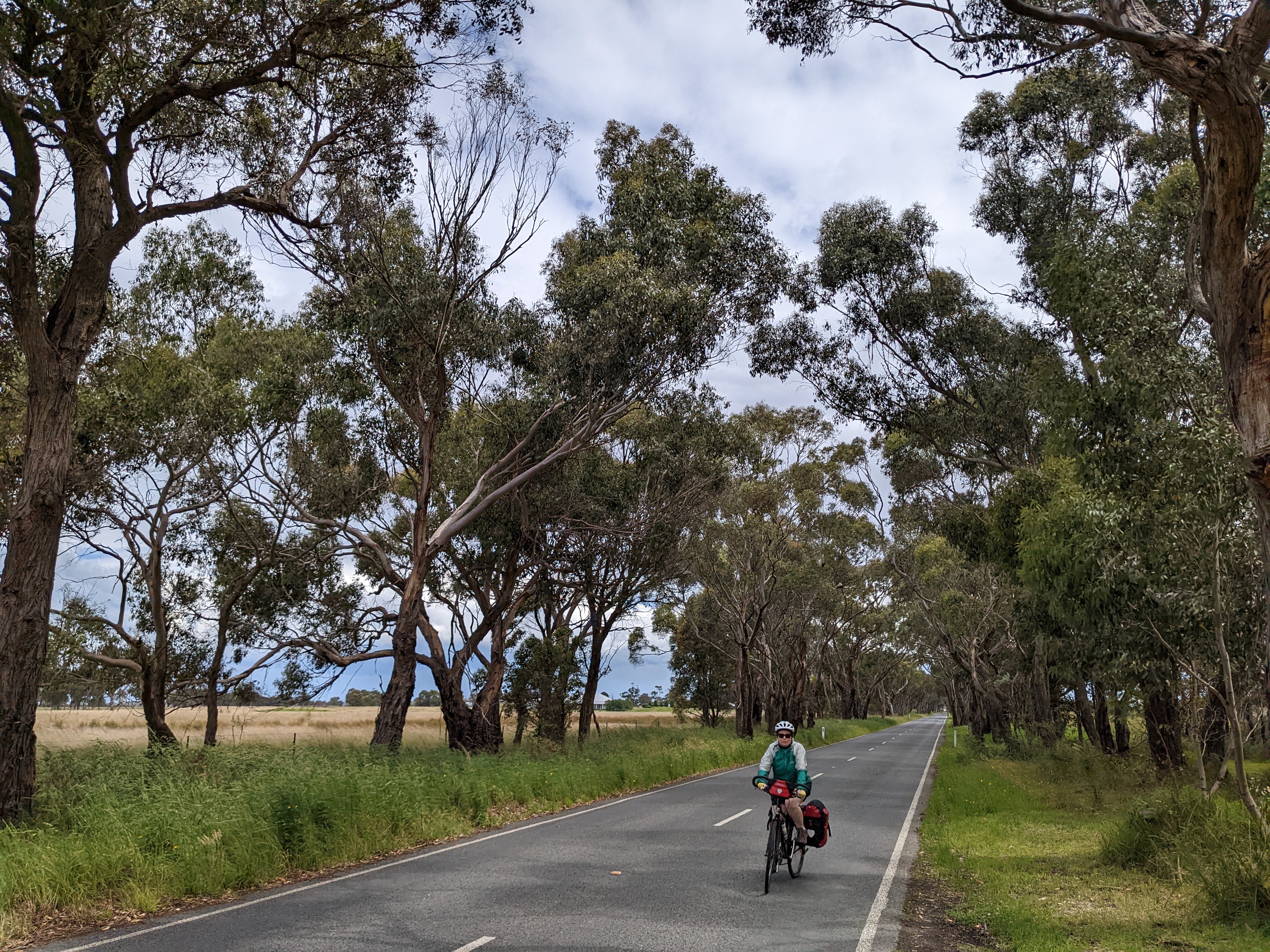
Paynesville Road was busier, but with a bike lane to the Eagle Point Road, after which they seemed to have lost interest in bike infrastructure, but the ride into Paynesville was fine nevertheless. That night, we splashed out on a sensational special dinner at Sardine in Paynesville.
Day 11. Paynesville to Metung
Wednesday, 16 Nov 2022 (56 km, back roads, rail trail, and a couple of busier roads).
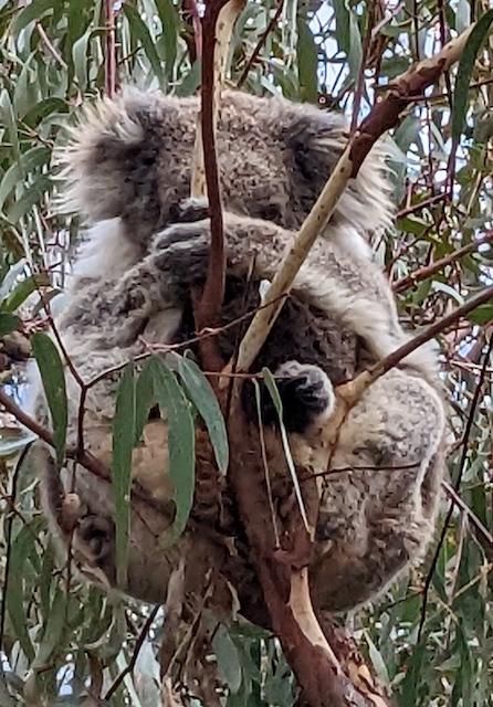
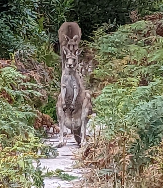
Before leaving Paynesville, we took the ferry over to Raymond Island with our bikes for a ride to the conservation reserve and a walk through the forest to commune with the crazy numbers of koalas, and lots of other wildlife. Ferry back for midday departure.
Our route out of Paynesville was much better than the ride in. A quiet ride around the foreshore part of Paynesville, and then across the peninsula and up the lower reaches of the Mitchell River along very quiet roads, and even a brief section of bike trail. The last 5 km into Bairnsdale was less great along the busy Paynesville Road, which at least had a reasonably wide verge to ride along.
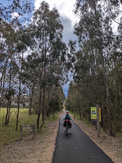
Lunch at the stables in Bairnsdale took us a couple of km out of our way before backtracking to the start of the East Gippsland Rail Trail (sealed with bumpy tree roots to Nicholson, newly smoothly sealed for a few km after Nicholson and then good quality unsealed to Bumberrah, where we turned off onto a quiet road to Swan Reach.
The Metung Rd was 550 m down the busy main highway, but most of that was in the wide side lane or along the footpath over the Tambo Bridge (or as we discovered on the return ride, you can go all the way along the footpath). It took a long time for a break in the traffic to get across to head to Metung. Metung Road was fairly busy with a moderately wide verge. A few small hills ended in a nice long roll into Metung Village, a quiet flat ride along the beach road in the cool afternoon sun, ending with a short climb up the steepest hill of our trip to our hosts’ place.
Days 12-14. Enjoying Metung and the return home.
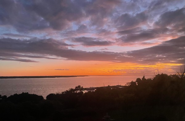
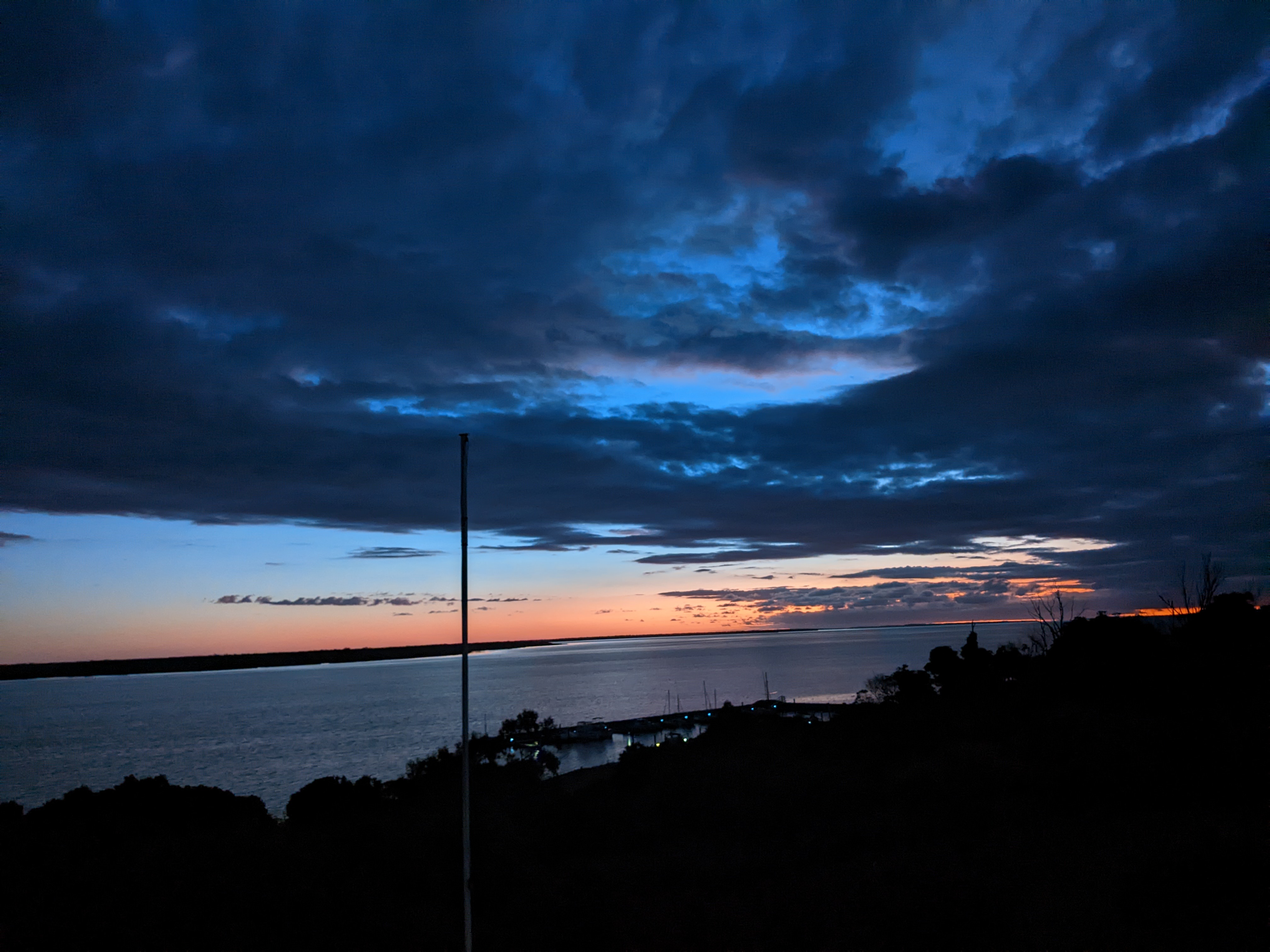
Two days staying with friends at Metung, walking, cavalcading and admiring the sunsets.
The ride back to Bairnsdale on Saturday morning was cool, fine and windless. The Metung Road seemed a lot more sedate compared to the frantic Wednesday afternoon rush hour. We stopped and admired a gaggle of water dragons sunning themselves on the rocks beside the Tambo River. The ride back up the hill to the rail trail seemed easy after two days rest, and we were back in Bairnsdale in two hours.
The waiting train had dedicated areas for bikes, which was a pleasant change from our recent experiences on V-line Velocity trains (and thankfully hadn’t been converted to a bus). A happy end to a great two weeks.